![Blue Mountain Range [English]](https://topoesie.com/wp-content/uploads/2026/09/shigawake_blue_moutain_range_01.jpg)
![Blue Mountain Range [English]](https://topoesie.com/wp-content/uploads/cache/images/fixe/shigawake_blue_moutain_range_01/shigawake_blue_moutain_range_01-754453634.jpg)
Lire la version française >
Speak to any fisher and you will understand that the notion of territory changes once you’re out on the water. Boundaries and division disappear; possibilities open up. The coastline is read differently. Topography, the highest points, built heritage, ephemeral spring falls and those that persist through the summer, all become markers for orientation. The horizon puts life into perspective; humility flows freely.
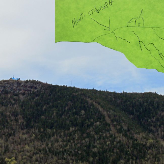
Blue Mountain Range refers to the moment a boat is far enough from the shore to glimpse the second mountain range, which was previously hidden from sight.
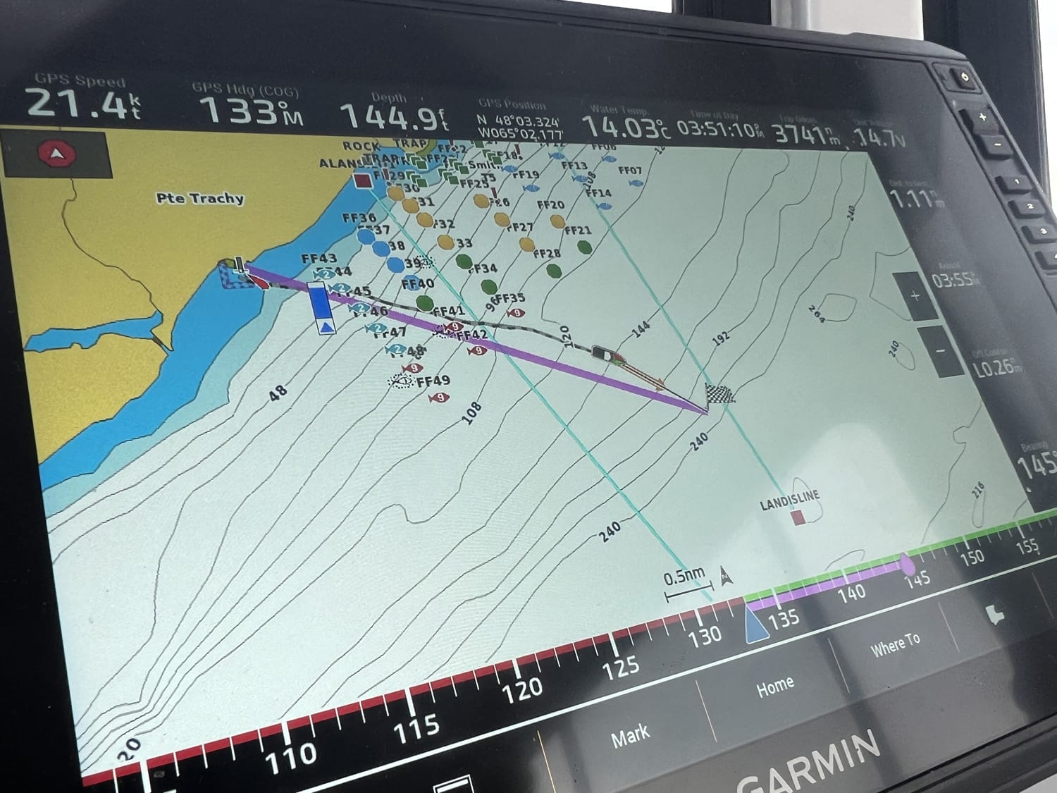
The shape of the seabed also tells its own stories. Sailors see in it shapes and share their location through them: La Bouteille (The Bottle), Le Cercueil (The Coffin), Les Oreilles de Chien (The Dog’s Ears), the Skating Rink, La Queue de Baleine (The Whales’ Tail), The Hockey Puck…
 DÉCOUVRIR >
tous les lieux-dits de cette ville
DÉCOUVRIR >
tous les lieux-dits de cette ville
AUDIO
[ANGLAIS] Interview with Francis Vautier, April 11, 2025.
The second mountain range.
Interview with Jeffrey Vautier, May 13, 2025.
Deep-water toponymy.
Under the sea.
The plotter, an instrument used to better see the seabed, and the source of inspiration for many place names.
Herring, mackerel.
The effects of climate change on fishing.
IMAGES
1. and 2. Marie-Claude De Souza, 2026.
![Eddie’s Mill [Moulin à Eddie]](https://topoesie.com/wp-content/uploads/cache/images/fixe/shigawake_eddies_mill_01/shigawake_eddies_mill_01-52735842.jpg)
![The Ridge [English]](https://topoesie.com/wp-content/uploads/cache/images/fixe/new_carlisle_vimy_ridge/new_carlisle_vimy_ridge-2241901354.jpg)
![John Thomas’ Hill [English]](https://topoesie.com/wp-content/uploads/cache/images/fixe/shigawake_old_road_01-1/shigawake_old_road_01-1-3392694864.jpg)